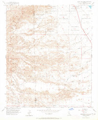
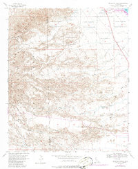
1956 Map of Seventeen Palms
USGS Topo · Published 1965About this map
Seventeen Palms sits at the base of the Santa Rosa Mountains, a desert landscape shaped by ancient runoff and localized mining. The mid-century survey details a complex system of drainage, from the Arroyo Salada in the south to Rainbow Rock Wash in the north, punctuated by rare water sources like Four Palms Spring and Tipy Spring. This region was largely defined by the boundaries of the Torres Martinez Indian Reservation, which covers much of the northern and eastern terrain near the Salton Sea. The presence of the Calcite Mine and a local Gravel Pit indicates small-scale industrial activity in an area otherwise dominated by topography. Historically significant desert routes are visible, most notably the Truckhaven Trail which crosses the southern portion of the quadrangle, following the natural contours of Palm Wash.
Find a feature on this map
37 named features on this map. Tap any name to fly to it.
Don’t see what you’re looking for? This feature index may not catch every label — zoom into the map to look around manually.
Map Details
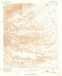
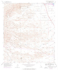
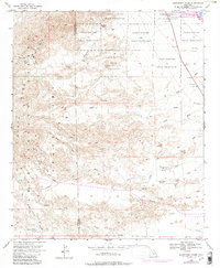
Editions of this 1956 Seventeen Palms Map
5 editions found
Other maps of this area

1904 · Indio
USGS Topo · 1:125,000

1931 · Vallecito
USGS Topo · 1:125,000

1940 · Kane Spring
USGS Topo · 1:62,500

1940 · Durmid
USGS Topo · 1:62,500

1942 · Barrel Spring
USGS Topo · 1:62,500

1942 · Agua Dulce
USGS Topo · 1:62,500

1943 · Vallecito
USGS Topo · 1:125,000

1944 · Agua Dulce
USGS Topo · 1:62,500

1944 · Durmid
USGS Topo · 1:62,500

1944 · Kane Spring
USGS Topo · 1:62,500