
1935 Map of Sevier
USGS Topo · Published 1935About this map
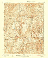
Fishlake National Forest dominates this mid-1930s landscape, where a network of remote outposts and high-altitude features define the geography of south-central Utah. The map documents early forestry infrastructure with four distinct ranger stations, including the Pavant Ranger Sta and Shingle Creek Ranger Sta, positioned to manage the timber and watersheds. Central to the topography is Clear Creek, which carves through The Narrows alongside the State Highway, providing a critical passage through the high country. In the southeast corner, the Sevier River flows past the settlement of Pitsburg and the Parker Ranch, marking the transition from the mountainous interior to the river valley. The survey captures a moment when resource management and early motor travel began to leave a permanent mark on the varied terrain of Big Bench and Red Ridge.
Find a feature on this map
88 named features on this map. Tap any name to fly to it.
Don’t see what you’re looking for? This feature index may not catch every label — zoom into the map to look around manually.
Map Details
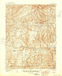
Editions of this 1935 Sevier Map
3 editions found
Other maps of this area

1885 · Beaver
USGS Topo · 1:250,000

1932 · Sevier
USGS Topo · 1:62,500

1937 · Delano Peak
USGS Topo · 1:48,000

1940 · Monroe
USGS Topo · 1:62,500

1943 · Delano Peak
USGS Topo · 1:62,500

1944 · Monroe
USGS Topo · 1:62,500

1945 · Marysvale
USGS Topo · 1:62,500

1947 · Marysvale
USGS Topo · 1:62,500

1953 · Richfield
USGS Topo · 1:250,000

1954 · Beaver NE
USGS Topo · 1:24,000