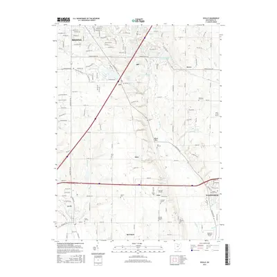
2016 Map of Seville
USGS Topo · Published 2016About this map
Seville and Wadsworth anchor the southern portion of this Medina County landscape, where the headwaters of the Styx River and Chippewa Cr dictate the layout of early settlements. The map reveals a high density of rural burial grounds, including the Old Mennonite Cem and Jerusalem Lutheran Cem, which serve as significant markers of the area's religious and genealogical heritage. This modern survey reflects a region defined by its transition from agricultural heritage to suburban expansion, yet it maintains clear evidence of its historical structure.
Find a feature on this map
156 named features on this map. Tap any name to fly to it.
Don’t see what you’re looking for? This feature index may not catch every label — zoom into the map to look around manually.
Map Details
Editions of this 2016 Seville Map
This is the sole edition of this map. No revisions or reprints were ever made.
Other maps of this area

1901 · Massillon
USGS Topo · 1:62,500

1901 · Wooster
USGS Topo · 1:62,500

1903 · Massillon
USGS Topo · 1:62,500

1903 · Wooster
USGS Topo · 1:62,500

1903 · Akron
USGS Topo · 1:62,500

1904 · Medina
USGS Topo · 1:62,500

1905 · Akron
USGS Topo · 1:62,500

1906 · Medina
USGS Topo · 1:62,500

1950 · Cleveland
USGS Topo · 1:250,000

1951 · Canton
USGS Topo · 1:250,000