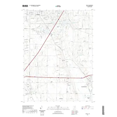
2019 Map of Seville
USGS Topo · Published 2019About this map
The W Br Rocky River and the Styx River define the local topography south of Medina, where the landscape transitions from residential subdivisions to a more open, rural character. This area is punctuated by small settlements like Poe, Blake, and Acme, often marked by their namesake burial grounds such as Poe Cem and Blake Cem. The proximity of diverse religious and community heritage is evident in the presence of the Guilford Mennonite Cem, Jerusalem Lutheran Cem, and the Old Mennonite Cem. Local aviation is a notable theme, with Weltzien Skypark, Wiltz Farms Airport, and the Wadsworth Municipal Airport all situated within this relatively small geographic footprint. Infrastructure such as the W&Le RR and the W Br Rocky River highlight the historical and modern importance of transportation and water resources in Medina County.
Find a feature on this map
91 named features on this map. Tap any name to fly to it.
Don’t see what you’re looking for? This feature index may not catch every label — zoom into the map to look around manually.
Map Details
Editions of this 2019 Seville Map
This is the sole edition of this map. No revisions or reprints were ever made.
Other maps of this area

1901 · Massillon
USGS Topo · 1:62,500

1901 · Wooster
USGS Topo · 1:62,500

1903 · Massillon
USGS Topo · 1:62,500

1903 · Wooster
USGS Topo · 1:62,500

1903 · Akron
USGS Topo · 1:62,500

1904 · Medina
USGS Topo · 1:62,500

1905 · Akron
USGS Topo · 1:62,500

1906 · Medina
USGS Topo · 1:62,500

1950 · Cleveland
USGS Topo · 1:250,000

1951 · Canton
USGS Topo · 1:250,000