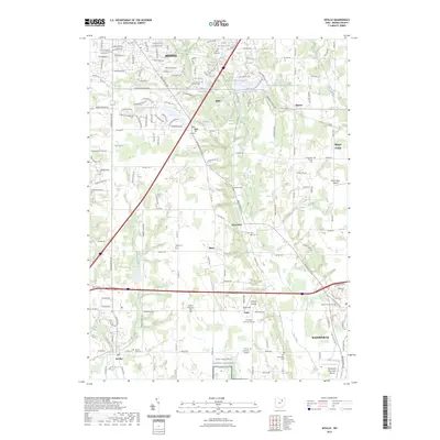
2023 Map of Seville
USGS Topo · Published 2023About this map
The southern outskirts of Medina and the northern reaches of Wadsworth define this portion of Medina County, where agricultural lands increasingly interface with suburban expansion. A significant portion of the southern landscape is dedicated to the Ohio Western Reserve National Cemetery, a sprawling site established for veterans. Smaller, older burial grounds like the River Styx Cem and Blake Cem are scattered throughout the region, providing important markers of the early 19th-century families who established the crossroads settlements of River Styx and Blake.
Find a feature on this map
61 named features on this map. Tap any name to fly to it.
Don’t see what you’re looking for? This feature index may not catch every label — zoom into the map to look around manually.
Map Details
Editions of this 2023 Seville Map
This is the sole edition of this map. No revisions or reprints were ever made.
Other maps of this area

1901 · Massillon
USGS Topo · 1:62,500

1901 · Wooster
USGS Topo · 1:62,500

1903 · Massillon
USGS Topo · 1:62,500

1903 · Wooster
USGS Topo · 1:62,500

1903 · Akron
USGS Topo · 1:62,500

1904 · Medina
USGS Topo · 1:62,500

1905 · Akron
USGS Topo · 1:62,500

1906 · Medina
USGS Topo · 1:62,500

1950 · Cleveland
USGS Topo · 1:250,000

1951 · Canton
USGS Topo · 1:250,000