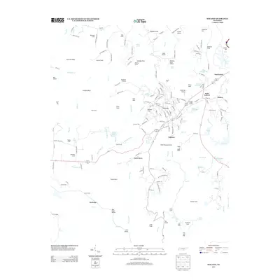
2013 Map of Sewanee
USGS Topo · Published 2013About this map
Sewanee sits atop the Sewanee Plateau, serving as the academic and cultural heart of this Tennessee landscape in the early 21st century. The geography is defined by its dramatic edges, where viewpoints like Morgans Steep, Otey View, and Polk Lookout overlook the surrounding valleys. Below these bluffs, the terrain transitions into deep coves and hollows, such as Roark Cove and Hawkins Cove, which harbor small settlements and family-named landmarks like Bennett Cove.
Find a feature on this map
176 named features on this map. Tap any name to fly to it.
Don’t see what you’re looking for? This feature index may not catch every label — zoom into the map to look around manually.
Map Details
Editions of this 2013 Sewanee Map
This is the sole edition of this map. No revisions or reprints were ever made.
Other maps of this area

1895 · Sewanee
USGS Topo · 1:125,000

1928 · Decherd
USGS Topo · 1:62,500

1936 · Sewanee
USGS Topo · 1:24,000

1936 · Alto
USGS Topo · 1:24,000

1936 · Orme
USGS Topo · 1:24,000

1936 · Sinking Cove
USGS Topo · 1:24,000

1936 · Burrow Cove
USGS Topo · 1:24,000

1936 · Monteagle
USGS Topo · 1:24,000

1936 · Winchester
USGS Topo · 1:24,000

1936 · Pitcher Ridge
USGS Topo · 1:24,000