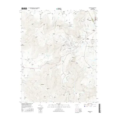
2016 Map of Sewanee
USGS Topo · Published 2016About this map
Sewanee sits atop the high Cumberland Plateau, dominated by the campus of The Univ of the S. The map reveals a complex landscape where academic architecture meets sharp geological drop-offs at Morgans Steep and Armfield Bluff. To the west, the topography plunges toward Cowan, where the historic Cowan Tunnel facilitates rail passage through the mountain. This era shows the developed network of the Sewanee Plateau, including Saint Andrews and the Franklin County Airport.
Find a feature on this map
191 named features on this map. Tap any name to fly to it.
Don’t see what you’re looking for? This feature index may not catch every label — zoom into the map to look around manually.
Map Details
Editions of this 2016 Sewanee Map
This is the sole edition of this map. No revisions or reprints were ever made.
Other maps of this area

1895 · Sewanee
USGS Topo · 1:125,000

1928 · Decherd
USGS Topo · 1:62,500

1936 · Sewanee
USGS Topo · 1:24,000

1936 · Alto
USGS Topo · 1:24,000

1936 · Orme
USGS Topo · 1:24,000

1936 · Sinking Cove
USGS Topo · 1:24,000

1936 · Burrow Cove
USGS Topo · 1:24,000

1936 · Monteagle
USGS Topo · 1:24,000

1936 · Winchester
USGS Topo · 1:24,000

1936 · Pitcher Ridge
USGS Topo · 1:24,000