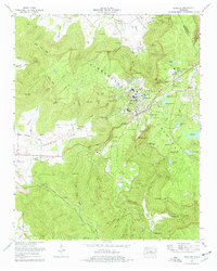
2022 Map of Sewanee
USGS Topo · Published 2022About this map
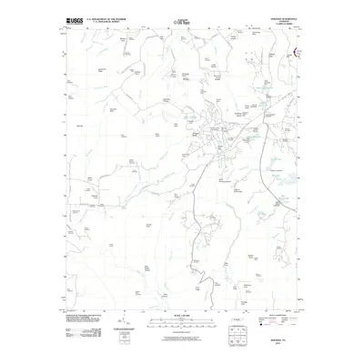
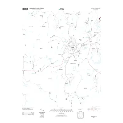
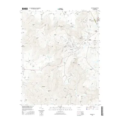
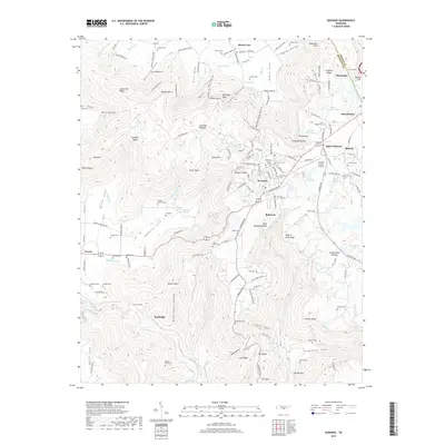
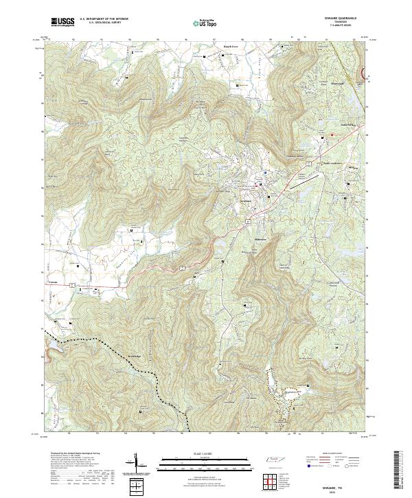
Sewanee and the University of the South dominate the center of this terrain-rich study, where the developed plateaus contrast with the steep descents into the surrounding lowlands. The geography is defined by the Sewanee Plateau and the Cumberland Plateau, marked by distinctive features such as Morgans Steep and Elliot Point. The area's spiritual and educational heritage is evident through the campus grounds and the presence of the Sisters of Saint Marys and their associated chapel.
Find a feature on this map
196 named features on this map. Tap any name to fly to it.
Don’t see what you’re looking for? This feature index may not catch every label — zoom into the map to look around manually.
Map Details
Editions of this 2022 Sewanee Map
This is the sole edition of this map. No revisions or reprints were ever made.
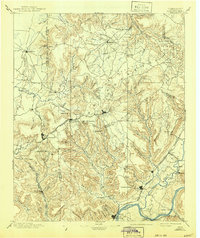
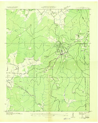
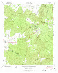
Historical Maps of Sewanee Through Time
9 maps found