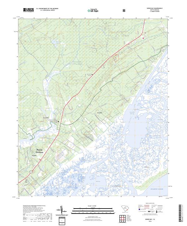
2024 Map of Sewee Bay
USGS Topo · Published 2024About this map
The salt marshes and maritime forests of coastal South Carolina dominate this landscape, where the Francis Marion National Forest meets the tidal complex of the Cape Romain National Wildlife Refuge. The map reveals the intricate network of the Intracoastal Waterway as it winds behind barrier features like Bull Island and Capers Island. These lowlands are defined by tidal channels such as Guerin Creek and the Wando River, which historically dictated the pattern of local settlement and transport.
Find a feature on this map
64 named features on this map. Tap any name to fly to it.
Don’t see what you’re looking for? This feature index may not catch every label — zoom into the map to look around manually.
Map Details
Editions of this 2024 Sewee Bay Map
This is the sole edition of this map. No revisions or reprints were ever made.
Other maps of this area

1919 · Capers Island
USGS Topo · 1:21,120

1919 · Wando
USGS Topo · 1:21,120

1919 · Cordesville
USGS Topo · 1:48,000

1919 · Fort Moultrie
USGS Topo · 1:21,120

1919 · Bulls Island
USGS Topo · 1:21,120

1919 · Sewee Bay
USGS Topo · 1:21,120

1943 · Capers Island
USGS Topo · 1:24,000

1943 · Fort Moultrie
USGS Topo · 1:24,000

1943 · Wando
USGS Topo · 1:24,000

1943 · Sewee Bay
USGS Topo · 1:24,000