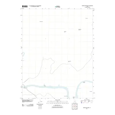
2011 Map of Sewing Machine
USGS Topo · Published 2011About this map
Cataract Canyon and the surrounding high desert terrain dominate this 2011 survey, showing the landscape of San Juan County where the Dirty Devil River joins the upper reaches of Lake Powell. This area is defined by sharp elevation changes and distinctive geological formations, including the prominent ridge known as The Sewing Machine and the broad expanses of Andy Miller Flats and the Red Benches. The map centers on a critical transition point for desert travel and hydrology, capturing the waterway as it winds through Mille Crag Bend.
Find a feature on this map
15 named features on this map. Tap any name to fly to it.
Don’t see what you’re looking for? This feature index may not catch every label — zoom into the map to look around manually.
Map Details
Editions of this 2011 Sewing Machine Map
This is the sole edition of this map. No revisions or reprints were ever made.
Other maps of this area

1885 · San Rafael
USGS Topo · 1:250,000

1886 · Henry Mountains
USGS Topo · 1:250,000

1892 · Henry Mountains
USGS Topo · 1:250,000

1952 · Mouth of Dark Canyon
USGS Topo · 1:62,500

1952 · Orange Cliffs 3 SW
USGS Topo · 1:24,000

1952 · Hite
USGS Topo · 1:62,500

1953 · Orange Cliffs 3 SE
USGS Topo · 1:24,000

1953 · Orange Cliffs 4 SW
USGS Topo · 1:24,000

1953 · Fiddler Butte
USGS Topo · 1:62,500

1953 · Orange Cliffs
USGS Topo · 1:62,500