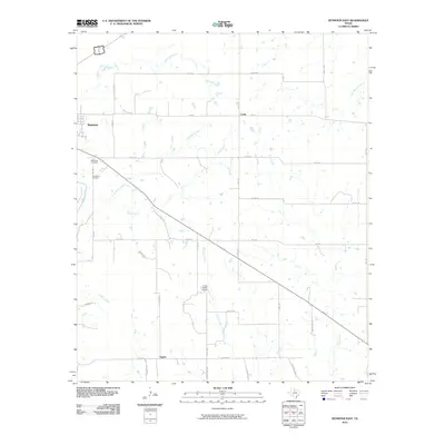
2010 Map of Seymour East
USGS Topo · Published 2010About this map
Seymour serves as the primary hub of this Baylor County region, situated where the Brazos River meets a network of local drainages. The landscape is defined by the branching paths of Little Rock Creek, Seymour Creek, and Deep Creek, which dictate the placement of ranch roads and rural developments. Local history and genealogy are preserved at the Riverview Cemetery and Woodman Cemetery, located near the riverbank on the western edge of the quadrangle.
Find a feature on this map
38 named features on this map. Tap any name to fly to it.
Don’t see what you’re looking for? This feature index may not catch every label — zoom into the map to look around manually.
Map Details
Editions of this 2010 Seymour East Map
This is the sole edition of this map. No revisions or reprints were ever made.
Other maps of this area

1954 · Wichita Falls
USGS Topo · 1:250,000

1958 · Wichita Falls
USGS Topo · 1:250,000

1962 · Antelope Creek NE
USGS Topo · 1:24,000

1966 · Seymour West
USGS Topo · 1:24,000

1966 · Rock Canyon
USGS Topo · 1:24,000

1966 · Fulda
USGS Topo · 1:24,000

1966 · Southeast Lake Kemp
USGS Topo · 1:24,000

1966 · Southwest Lake Kemp
USGS Topo · 1:24,000

1966 · Seymour East
USGS Topo · 1:24,000
1966 · Cope Branch
USGS Topo · 1:24,000