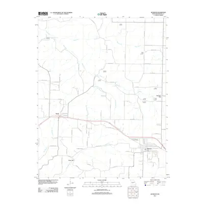
2011 Map of Seymour
USGS Topo · Published 2011About this map
The Civil War Cemetery and Masonic Cemetery stand as quiet landmarks on the outskirts of Seymour, reflecting the deep-rooted heritage of this Webster County landscape. This 2011 survey reveals a territory defined by high-country headwaters, where the James River begins its course alongside tributaries like Teague Creek and Little Finley Creek. The distribution of family burial grounds, including the George Cemetery, McElwain Cemetery, and Alcorn Cemetery, suggests a long history of kinship-based settlement across the hills.
Find a feature on this map
79 named features on this map. Tap any name to fly to it.
Don’t see what you’re looking for? This feature index may not catch every label — zoom into the map to look around manually.
Map Details
Editions of this 2011 Seymour Map
This is the sole edition of this map. No revisions or reprints were ever made.
Other maps of this area

1939 · Fordland
USGS Topo · 1:62,500

1942 · Fordland
USGS Topo · 1:62,500

1946 · Niangua
USGS Topo · 1:62,500

1948 · Niangua
USGS Topo · 1:62,500

1951 · Mansfield NW
USGS Topo · 1:24,000
1951 · Cedar Gap
USGS Topo · 1:24,000

1954 · Springfield
USGS Topo · 1:250,000

1956 · Duncan
USGS Topo · 1:24,000

1958 · Springfield
USGS Topo · 1:250,000

1959 · Springfield
USGS Topo · 1:250,000