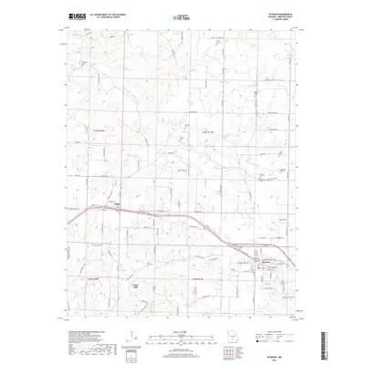
2017 Map of Seymour
USGS Topo · Published 2017About this map
Seymour serves as the primary hub in this portion of Webster County, situated at the intersection of significant local transit routes and the BNSF Railway. The town's historic footprint is anchored by the Masonic Cem and a dense grid of residential streets like E Washington St and E Clinton Ave. To the west, the smaller settlement of Diggins sits along the rail line, marking a secondary point of community growth in this agricultural landscape.
Find a feature on this map
113 named features on this map. Tap any name to fly to it.
Don’t see what you’re looking for? This feature index may not catch every label — zoom into the map to look around manually.
Map Details
Editions of this 2017 Seymour Map
This is the sole edition of this map. No revisions or reprints were ever made.
Other maps of this area

1939 · Fordland
USGS Topo · 1:62,500

1942 · Fordland
USGS Topo · 1:62,500

1946 · Niangua
USGS Topo · 1:62,500

1948 · Niangua
USGS Topo · 1:62,500

1951 · Mansfield NW
USGS Topo · 1:24,000
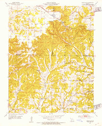
1951 · Cedar Gap
USGS Topo · 1:24,000

1954 · Springfield
USGS Topo · 1:250,000

1956 · Duncan
USGS Topo · 1:24,000

1958 · Springfield
USGS Topo · 1:250,000

1959 · Springfield
USGS Topo · 1:250,000