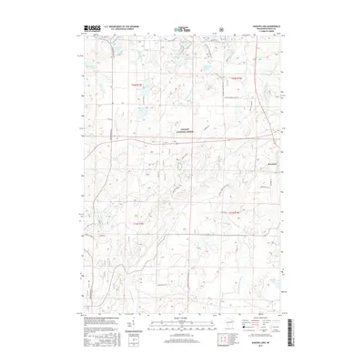
2015 Map of Shadow Lake
USGS Topo · Published 2015About this map
Mountain and the surrounding woodlands of the Nicolet National Forest define this landscape in Oconto County. The area is characterized by a dense network of glacial water bodies, including Shadow Lake, Deadman Lake, and the uniquely named Chicken Foot Lake. These lakes are connected by a web of Forest Service roads and local tracks like Old Log Siding Ln, reflecting the region's history with the timber industry and later recreational development. The hydrography is dominated by the branches of the Oconto River, with the Second S Br Oconto River and First S Br Oconto River carving through the terrain alongside landmarks such as Hells Acre Springs. Local land use is evidenced by descriptive road names like Sheep Ranch Rd, pointing to the varied agricultural and forestry activities that have shaped this part of northern Wisconsin.
Find a feature on this map
51 named features on this map. Tap any name to fly to it.
Don’t see what you’re looking for? This feature index may not catch every label — zoom into the map to look around manually.
Map Details
Editions of this 2015 Shadow Lake Map
This is the sole edition of this map. No revisions or reprints were ever made.
Other maps of this area

1940 · Thunder Mtn.
USGS Topo · 1:48,000

1942 · Breed
USGS Topo · 1:48,000

1942 · Wabeno
USGS Topo · 1:48,000

1950 · Wabeno
USGS Topo · 1:48,000

1951 · Wabeno
USGS Topo · 1:48,000

1951 · Thunder Mountain
USGS Topo · 1:48,000

1952 · Langlade
USGS Topo · 1:48,000

1952 · Mountain
USGS Topo · 1:48,000

1954 · Iron Mountain
USGS Topo · 1:250,000

1959 · Iron Mountain
USGS Topo · 1:250,000