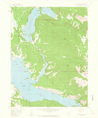
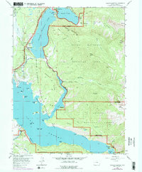
1958 Map of Shadow Mountain
USGS Topo · Published 1959About this map
Grand Lake serves as the northern anchor of this high-altitude landscape, where the waters of the North Fork Colorado River begin their journey south. The map documents a transformative era for the region's hydrology, featuring the newly established Shadow Mountain Lake and the massive Lake Granby reservoir system. A critical piece of engineering, the Alva B Adams Tunnel, is shown near the west portal, signifying the mid-century efforts to divert water across the Continental Divide.
Find a feature on this map
62 named features on this map. Tap any name to fly to it.
Don’t see what you’re looking for? This feature index may not catch every label — zoom into the map to look around manually.
Map Details
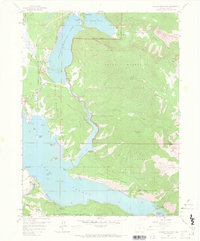
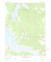
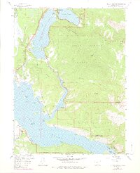
Editions of this 1958 Shadow Mountain Map
5 editions found
Other maps of this area

1915 · Longs Peak
USGS Topo · 1:125,000

1919 · Rocky Mountain National Park
USGS Topo · 1:125,000

1954 · Greeley
USGS Topo · 1:250,000

1957 · Greeley
USGS Topo · 1:250,000

1957 · Mc Henrys Peak
USGS Topo · 1:24,000

1957 · Bowen Mountain
USGS Topo · 1:24,000
1957 · Trail Mountain
USGS Topo · 1:24,000
1957 · Granby
USGS Topo · 1:24,000

1958 · Greeley
USGS Topo · 1:250,000
1958 · Strawberry Lake
USGS Topo · 1:24,000