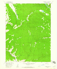
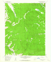
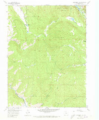
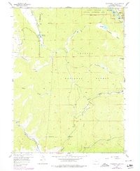
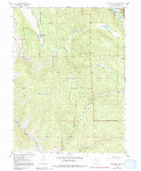
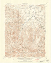
1958 Map of Strawberry Lake
USGS Topo · Published 1959About this map
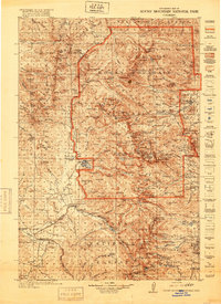
Arapaho National Forest defines this high-elevation landscape, where the waters of the Fraser River and Strawberry Creek flow through deep timber and alpine basins. In the late 1950s, the area reflects a transition from traditional high-country ranching at the Little HO Ranch and Arapaho Valley Ranch toward a growing focus on outdoor recreation. The map documents the early footprint of the Shadow Mountain National Recreation Area, specifically around the southeastern shores of Lake Granby and Arapaho Bay.
Find a feature on this map
30 named features on this map. Tap any name to fly to it.
Don’t see what you’re looking for? This feature index may not catch every label — zoom into the map to look around manually.
Map Details
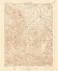
Editions of this 1958 Strawberry Lake Map
6 editions found

Other maps of this area

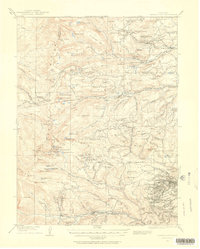
1905 · Central City
USGS Topo · 1:62,500
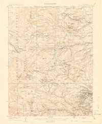
1910 · Central City
USGS Topo · 1:62,500
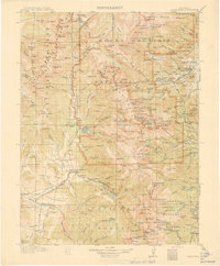
1912 · Central City
USGS Topo · 1:62,500
1915 · Longs Peak
USGS Topo · 1:125,000
1919 · Rocky Mountain National Park
USGS Topo · 1:125,000
1924 · Fraser
USGS Topo · 1:62,500
1926 · Fraser
USGS Topo · 1:62,500

1953 · Denver
USGS Topo · 1:250,000

1954 · Greeley
USGS Topo · 1:250,000

1957 · Denver
USGS Topo · 1:250,000