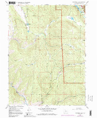
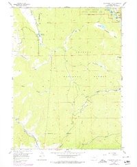
1958 Map of Strawberry Lake
USGS Topo · Published 1992About this map
The Arapaho National Forest dominates this high-altitude landscape, where the waters of the Fraser River and Strawberry Creek carve through the mountain terrain. This 1958 survey, updated with 1970s revisions, highlights the intersection of recreation and ranching history in the shadow of Lonesome Peak. Significant water management features are evident, including the Hankison Reservoir, Vail Ditch, and a Gaging Sta along the creek, reflecting the region's importance for resource control. Remote holdings such as Little Hill Ranch and Arapaho Valley Ranch sit tucked away from the primary shoreline of Lake Granby, while an extensive network of footpaths like the Caribou Trail and various pack trails illustrate the backcountry accessibility of the era. The presence of Big Rock Campground and Meadow Creek Campground points to the area's established role as a destination for outdoor enthusiasts in the mid-20th century.
Find a feature on this map
33 named features on this map. Tap any name to fly to it.
Don’t see what you’re looking for? This feature index may not catch every label — zoom into the map to look around manually.
Map Details
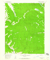
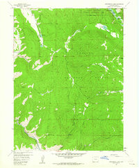
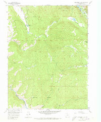
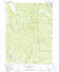
Editions of this 1958 Strawberry Lake Map
6 editions found
Other maps of this area

1905 · Central City
USGS Topo · 1:62,500

1910 · Central City
USGS Topo · 1:62,500

1912 · Central City
USGS Topo · 1:62,500

1915 · Longs Peak
USGS Topo · 1:125,000

1919 · Rocky Mountain National Park
USGS Topo · 1:125,000

1924 · Fraser
USGS Topo · 1:62,500

1926 · Fraser
USGS Topo · 1:62,500

1953 · Denver
USGS Topo · 1:250,000

1954 · Greeley
USGS Topo · 1:250,000

1957 · Denver
USGS Topo · 1:250,000