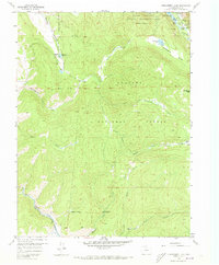
1958 Map of Strawberry Lake
USGS Topo · Published 1973About this map
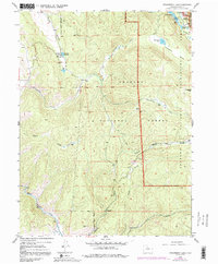
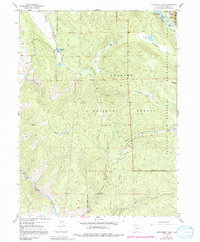
The high-country recreation landscape of Grand County is captured here following a 1958 field check. The newly formed eastern edge of Lake Granby dominates the northern reaches, where Arapaho Bay meets several campgrounds including Moxaine Campground and Western Box Campground. This area within the Shadow Mountain National Recreation Area and Arapaho National Forest shows a mix of traditional ranching and burgeoning forest service development. The Denver and Rio Grande Western rail line follows the path of the Fraser River in the southwest, providing a vital transportation corridor through the mountain passes. Historic routes like the Caribou Trail and various gaging stations along Strawberry Creek reflect the region's focus on both trail-based movement and water management. Isolated landmarks such as Lonesome Peak and Little Horseshoe Ranch highlight the sparse but significant human presence in this high-altitude terrain.
Find a feature on this map
27 named features on this map. Tap any name to fly to it.
Don’t see what you’re looking for? This feature index may not catch every label — zoom into the map to look around manually.
Map Details
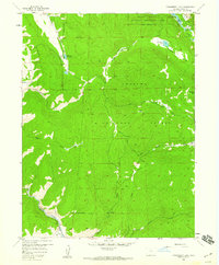
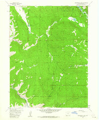
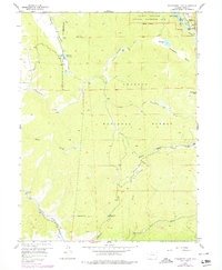
Editions of this 1958 Strawberry Lake Map
6 editions found
Other maps of this area

1905 · Central City
USGS Topo · 1:62,500

1910 · Central City
USGS Topo · 1:62,500

1912 · Central City
USGS Topo · 1:62,500

1915 · Longs Peak
USGS Topo · 1:125,000

1919 · Rocky Mountain National Park
USGS Topo · 1:125,000

1924 · Fraser
USGS Topo · 1:62,500

1926 · Fraser
USGS Topo · 1:62,500

1953 · Denver
USGS Topo · 1:250,000

1954 · Greeley
USGS Topo · 1:250,000

1957 · Denver
USGS Topo · 1:250,000