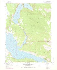
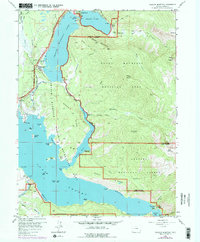
1958 Map of Shadow Mountain
USGS Topo · Published 1978About this map
The massive water management projects of the mid-20th century define this Colorado high-country landscape, where the Alva B Adams Tunnel and Shadow Mountain Dam regulate the flow between three major reservoirs. Shadow Mountain Lake and Granby Lake dominate the valley floor, reshaping the path of the Colorado River and creating numerous islands like Elephant Island and Harvey Island. This survey, updated in the late 1970s, captures the region's dual identity as a critical hydraulic resource and a recreational hub within the Shadow Mountain National Recreation Area. From the settlement of Grand Lake at the north end to the Roaring Fork Campground in the south, the map details the infrastructure supporting both park management and wilderness access. Notable landmarks such as the Hilltop Ranger Sta, Adams Falls, and the West Portal of the tunnel system highlight the technical and administrative footprint on the edge of the Rocky Mountain National Park.
Find a feature on this map
57 named features on this map. Tap any name to fly to it.
Don’t see what you’re looking for? This feature index may not catch every label — zoom into the map to look around manually.
Map Details
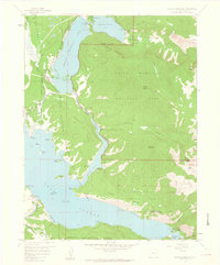
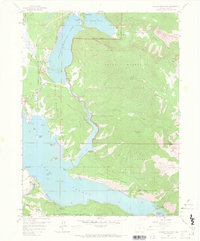
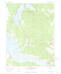
Editions of this 1958 Shadow Mountain Map
5 editions found
Other maps of this area

1915 · Longs Peak
USGS Topo · 1:125,000

1919 · Rocky Mountain National Park
USGS Topo · 1:125,000

1954 · Greeley
USGS Topo · 1:250,000

1957 · Greeley
USGS Topo · 1:250,000

1957 · Mc Henrys Peak
USGS Topo · 1:24,000

1957 · Bowen Mountain
USGS Topo · 1:24,000
1957 · Trail Mountain
USGS Topo · 1:24,000
1957 · Granby
USGS Topo · 1:24,000

1958 · Greeley
USGS Topo · 1:250,000
1958 · Strawberry Lake
USGS Topo · 1:24,000