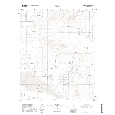
2018 Map of Shadow Mountains
USGS Topo · Published 2018About this map
Silver Peak and the Shadow Mountains anchor the northern landscape of this Mojave Desert quadrangle, where the arid terrain descends into the stark basin of El Mirage Lake. The southern portion of the map is defined by a dense grid of residential and utility roads, reflecting a unique pattern of desert settlement and development that includes long-standing routes like Hess Ranch Rd and Tanner Rd. Aviation history and utility are central to this area, represented by the El Mirage Field Adelanto Airport located near the dry lake bed, a site known for its flat, expansive surface. From the isolated Resurrection Hill to the myriad residential drives such as El Medio Rd and Verano Dr, the map documents the intersection of high-desert topography and modern land use within Township 7 North, Range 7 West and surrounding blocks.
Find a feature on this map
89 named features on this map. Tap any name to fly to it.
Don’t see what you’re looking for? This feature index may not catch every label — zoom into the map to look around manually.
Map Details
Editions of this 2018 Shadow Mountains Map
This is the sole edition of this map. No revisions or reprints were ever made.
Other maps of this area

1930 · El Mirage
USGS Topo · 1:24,000

1931 · Adobe
USGS Topo · 1:24,000

1932 · Barstow
USGS Topo · 1:125,000

1933 · El Mirage
USGS Topo · 1:24,000

1934 · Barstow
USGS Topo · 1:125,000

1934 · Adobe
USGS Topo · 1:24,000

1937 · Shadow Mountains
USGS Topo · 1:48,000

1937 · Kramer
USGS Topo · 1:48,000

1942 · Kramer
USGS Topo · 1:62,500

1942 · Shadow Mountains
USGS Topo · 1:62,500