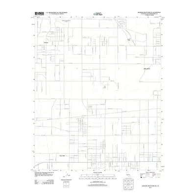
2012 Map of Shadow Mountains SE
USGS Topo · Published 2012About this map
Adelanto and the high desert settlements of El Mirage and Pinon Hills define this corner of San Bernardino County in the early 21st century. The landscape is characterized by a sprawling grid of desert roads and prominent aviation facilities, including the El Mirage Field Adelanto Airport in the north and Krey Field Airport further south. These sites, coupled with the wide expanse of the El Mirage Valley, reflect the region's long-standing connection to flight and open-space testing.
Find a feature on this map
128 named features on this map. Tap any name to fly to it.
Don’t see what you’re looking for? This feature index may not catch every label — zoom into the map to look around manually.
Map Details
Editions of this 2012 Shadow Mountains SE Map
This is the sole edition of this map. No revisions or reprints were ever made.
Other maps of this area

1901 · Southern California Sheet No. 1
USGS Topo · 1:250,000

1902 · Hesperia
USGS Topo · 1:62,500

1903 · San Antonio
USGS Topo · 1:62,500

1904 · Southern California Sheet No. 1
USGS Topo · 1:250,000

1930 · El Mirage
USGS Topo · 1:24,000

1930 · Angle
USGS Topo · 1:24,000

1932 · Angle
USGS Topo · 1:24,000

1932 · Barstow
USGS Topo · 1:125,000

1933 · El Mirage
USGS Topo · 1:24,000

1934 · Barstow
USGS Topo · 1:125,000