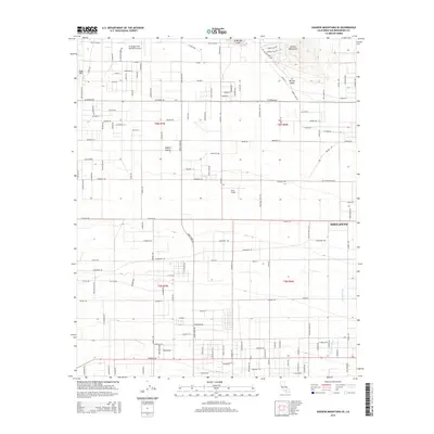
2015 Map of Shadow Mountains SE
USGS Topo · Published 2015About this map
Adelanto sits at the southern edge of this high desert landscape, where the residential street grid of the city meets the open terrain of the Mojave Desert. The area is defined by its aviation history and specialized land use, containing several landing strips including El Mirage Field, Krey Field, and the Adelanto Airport. To the north, the elevation rises into the Shadow Mountains and Gray Mtn, overlooking the expansive El Mirage Valley. A notable geographic feature is the dry bed of El Mirage Lake, a landmark that anchors the northern section of the map. The drainage of Fremont Wash cuts through the southeastern corner, illustrating the arid hydrology of San Bernardino County. This survey provides a clear look at the intersection of rural desert life and the northern expansion of the Victor Valley area.
Find a feature on this map
124 named features on this map. Tap any name to fly to it.
Don’t see what you’re looking for? This feature index may not catch every label — zoom into the map to look around manually.
Map Details
Editions of this 2015 Shadow Mountains SE Map
This is the sole edition of this map. No revisions or reprints were ever made.
Other maps of this area

1901 · Southern California Sheet No. 1
USGS Topo · 1:250,000

1902 · Hesperia
USGS Topo · 1:62,500

1903 · San Antonio
USGS Topo · 1:62,500

1904 · Southern California Sheet No. 1
USGS Topo · 1:250,000

1930 · El Mirage
USGS Topo · 1:24,000

1930 · Angle
USGS Topo · 1:24,000

1932 · Angle
USGS Topo · 1:24,000

1932 · Barstow
USGS Topo · 1:125,000

1933 · El Mirage
USGS Topo · 1:24,000

1934 · Barstow
USGS Topo · 1:125,000