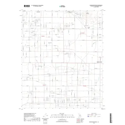
2018 Map of Shadow Mountains SE
USGS Topo · Published 2018About this map
Adelanto sits at the edge of this High Desert landscape, where the town's expansion meets the dry beds and alluvial fans of the Mojave Desert. The map documents a transition from structured residential blocks along the western fringe of the city to the expansive, open terrain of the El Mirage Valley. Notable aviation infrastructure is central to the area's layout, specifically El Mirage Field Adelanto Airport and Krey Field, reflecting the region's long-standing connection to flight testing and recreation. North of these fields, the land rises toward the Shadow Mountains and Gray Mtn, while the basin is dominated by the vast, flat expanse of El Mirage Lake. This dry lakebed is a prominent geomorphological feature, carved by seasonal flows from the Fremont Wash and surrounded by a network of desert roads like El Mirage Lake Rd.
Find a feature on this map
138 named features on this map. Tap any name to fly to it.
Don’t see what you’re looking for? This feature index may not catch every label — zoom into the map to look around manually.
Map Details
Editions of this 2018 Shadow Mountains SE Map
This is the sole edition of this map. No revisions or reprints were ever made.
Other maps of this area

1901 · Southern California Sheet No. 1
USGS Topo · 1:250,000

1902 · Hesperia
USGS Topo · 1:62,500

1903 · San Antonio
USGS Topo · 1:62,500

1904 · Southern California Sheet No. 1
USGS Topo · 1:250,000

1930 · El Mirage
USGS Topo · 1:24,000

1930 · Angle
USGS Topo · 1:24,000

1932 · Angle
USGS Topo · 1:24,000

1932 · Barstow
USGS Topo · 1:125,000

1933 · El Mirage
USGS Topo · 1:24,000

1934 · Barstow
USGS Topo · 1:125,000