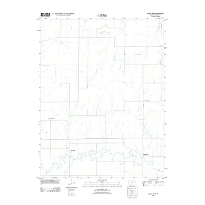
2012 Map of Shady Bend
USGS Topo · Published 2012About this map
The Saline River meanders sharply across the southern portion of this Lincoln County landscape, creating a complex series of oxbows and alluvial flats. The small settlement of Shady Bend is positioned near the river's path, while the name Quartzite appears to the west, reflecting the local geology of the Smoky Hills region. In the northern reaches, Sunnyside Cem sits atop the higher ground between the drainages of Beaver Cr and W Elkhorn Cr.
Find a feature on this map
17 named features on this map. Tap any name to fly to it.
Don’t see what you’re looking for? This feature index may not catch every label — zoom into the map to look around manually.
Map Details
Editions of this 2012 Shady Bend Map
This is the sole edition of this map. No revisions or reprints were ever made.
Other maps of this area

1892 · Salina
USGS Topo · 1:125,000

1892 · Minneapolis
USGS Topo · 1:125,000

1894 · Ellsworth
USGS Topo · 1:125,000

1894 · Beloit
USGS Topo · 1:125,000

1942 · Salina
USGS Topo · 1:125,000

1955 · Manhattan
USGS Topo · 1:250,000

1955 · Great Bend
USGS Topo · 1:250,000

1955 · Hutchinson
USGS Topo · 1:250,000

1955 · Beloit
USGS Topo · 1:250,000

1956 · Manhattan
USGS Topo · 1:250,000