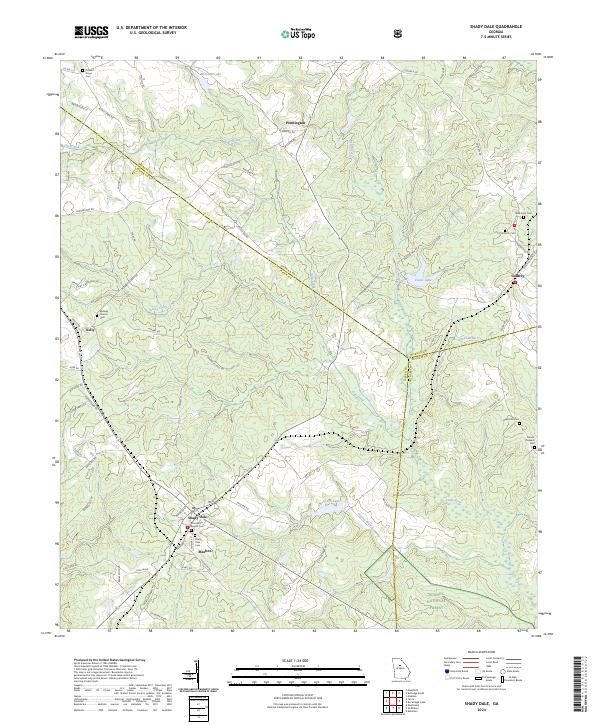
2024 Map of Shady Dale
USGS Topo · Published 2024About this map
The crossroads of Shady Dale and Machen define the southern landscape of this Jasper County survey, where the rural topography is carved by the Little River and its numerous tributaries. Small family and community landmarks, such as Providence Baptist Cem and Shady Dale Cem, are scattered throughout the agricultural tracts, providing essential markers for genealogical research in this part of Georgia.
Find a feature on this map
74 named features on this map. Tap any name to fly to it.
Don’t see what you’re looking for? This feature index may not catch every label — zoom into the map to look around manually.
Map Details
Editions of this 2024 Shady Dale Map
This is the sole edition of this map. No revisions or reprints were ever made.
Other maps of this area

1896 · Monroe
USGS Topo · 1:125,000

1953 · Athens
USGS Topo · 1:250,000

1958 · Athens
USGS Topo · 1:250,000

1959 · Athens
USGS Topo · 1:250,000

1963 · Athens
USGS Topo · 1:250,000
1972 · Monticello
USGS Topo · 1:24,000
1972 · Eatonton
USGS Topo · 1:24,000
1972 · Shady Dale
USGS Topo · 1:24,000
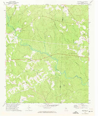
1972 · Smithboro
USGS Topo · 1:24,000
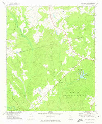
1972 · Rock Eagle Lake
USGS Topo · 1:24,000