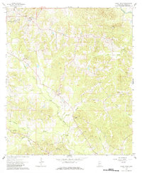
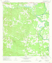
1963 Map of Shady Grove
USGS Topo · Published 1984About this map
Shady Grove and the surrounding rural landscape of Copiah County are defined by a network of creeks and family settlements as they appeared in the early 1960s. The area is heavily intersected by waterways like Copiah Creek and Bahala Creek, which shaped the distribution of small communities like Sardis and Ashley. These settlements are marked by their central social institutions, including Sardis Ch and Bethel Ch, which served the local population alongside numerous family and community burial grounds.
Find a feature on this map
21 named features on this map. Tap any name to fly to it.
Don’t see what you’re looking for? This feature index may not catch every label — zoom into the map to look around manually.
Map Details
Editions of this 1963 Shady Grove Map
2 editions found
Other maps of this area

1953 · Natchez
USGS Topo · 1:250,000

1956 · Natchez
USGS Topo · 1:250,000

1959 · Natchez
USGS Topo · 1:250,000
1963 · Crystal Springs
USGS Topo · 1:24,000
1963 · Gallman
USGS Topo · 1:24,000

1963 · Hazlehurst
USGS Topo · 1:24,000

1963 · Shady Grove
USGS Topo · 1:24,000
1970 · Hopewell
USGS Topo · 1:24,000

1971 · Oma
USGS Topo · 1:24,000
1971 · Georgetown
USGS Topo · 1:24,000