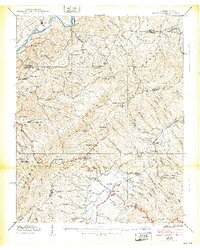
1938 Map of Shady Valley
USGS Topo · Published 1938About this map
South Fork Holston River snakes through the northern reaches of this 1938 survey, defining a landscape of deep valleys and prominent ridges along the Virginia and Tennessee border. The rural communities of Shady Valley and Crandull serve as the primary hubs in this mountain terrain, characterized by a high density of local institutions. A remarkable number of community buildings are documented, including Shady Valley Sch, Denton Valley Sch, and Offset Sch, alongside rural congregations at Central Ch and South Chapel.
Find a feature on this map
100 named features on this map. Tap any name to fly to it.
Don’t see what you’re looking for? This feature index may not catch every label — zoom into the map to look around manually.
Map Details
Editions of this 1938 Shady Valley Map
2 editions found
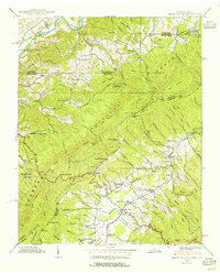
Other maps of this area

1891 · Roan Mountain
USGS Topo · 1:125,000

1891 · Abingdon
USGS Topo · 1:125,000

1893 · Cranberry
USGS Topo · 1:125,000

1894 · Roan Mountain
USGS Topo · 1:125,000

1894 · Abingdon
USGS Topo · 1:125,000

1895 · Cranberry
USGS Topo · 1:125,000

1897 · Bristol
USGS Topo · 1:125,000

1899 · Cranberry
USGS Topo · 1:125,000

1902 · Bristol
USGS Topo · 1:125,000

1902 · Cranberry
USGS Topo · 1:125,000