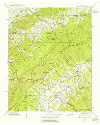
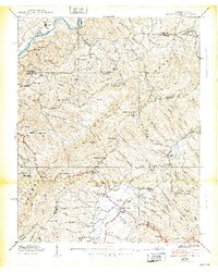
1938 Map of Shady Valley
USGS Topo · Published 1955About this map
Shady Valley sits in a high mountain basin where Beaverdam Creek winds through a landscape defined by small rural schools and timbered ridges during the late 1930s. The settlement pattern here is deeply tied to the terrain, with family-named landmarks like the Montgomery Cem and Denton Valley Sch serving as anchors for the local community. The presence of C C C Camp Shelby west of the valley reflects New Deal-era infrastructure work within the Holston National Forest, while the Lookout Tower on Mc Queen Knob suggests a landscape managed for fire protection.
Find a feature on this map
104 named features on this map. Tap any name to fly to it.
Don’t see what you’re looking for? This feature index may not catch every label — zoom into the map to look around manually.
Map Details
Editions of this 1938 Shady Valley Map
2 editions found
Other maps of this area

1891 · Roan Mountain
USGS Topo · 1:125,000

1891 · Abingdon
USGS Topo · 1:125,000

1893 · Cranberry
USGS Topo · 1:125,000

1894 · Roan Mountain
USGS Topo · 1:125,000

1894 · Abingdon
USGS Topo · 1:125,000

1895 · Cranberry
USGS Topo · 1:125,000

1897 · Bristol
USGS Topo · 1:125,000

1899 · Cranberry
USGS Topo · 1:125,000

1902 · Bristol
USGS Topo · 1:125,000

1902 · Cranberry
USGS Topo · 1:125,000