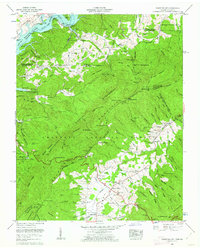
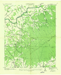
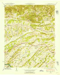
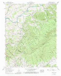
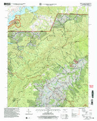
1960 Map of Shady Valley
USGS Topo · Published 1962This historical map portrays the area of Shady Valley in 1960, primarily covering Sullivan County as well as portions of Virginia. Featuring a scale of 1:24000, this map provides a highly detailed snapshot of the terrain, roads, buildings, counties, and historical landmarks in the Shady Valley region at the time. Published in 1962, it is one of 4 known editions of this map due to revisions or reprints.
Find a feature on this map
103 named features on this map. Tap any name to fly to it.
Don’t see what you’re looking for? This feature index may not catch every label — zoom into the map to look around manually.
Map Details
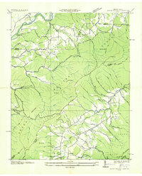
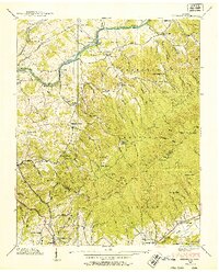
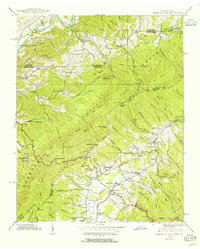
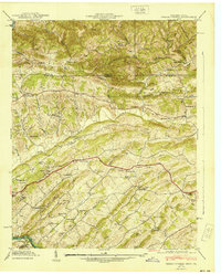
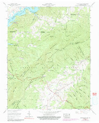
Editions of this 1960 Shady Valley Map
4 editions found
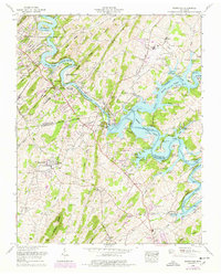
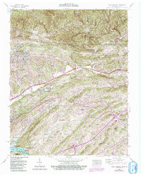
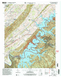
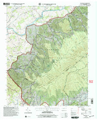
Historical Maps of Harr Through Time
17 maps found

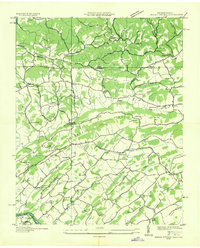
1934 Holston Valley
Sullivan County, TN
1935 Indian Springs
Sullivan County, TN
1935 Keenburg
Sullivan County, TN
1935 Shady Valley
Sullivan County, TN

1938 Holston Valley
Sullivan County, TN
1938 Keenburg
Sullivan County, TN
1938 Shady Valley
Sullivan County, TN
1939 Indian Springs
Sullivan County, TN
1940 Indian Springs
Sullivan County, TN
1959 Boone Dam
Sullivan County, TN
1959 Indian Springs
Sullivan County, TN

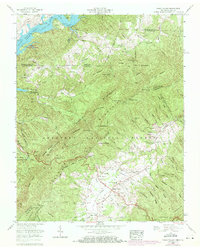
1960 Holston Valley
Sullivan County, TN
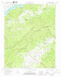
1960 Keenburg
Sullivan County, TN
1960 Shady Valley
Sullivan County, TN
2003 Holston Valley
Sullivan County, TN
2003 Keenburg
Sullivan County, TN
2003 Shady Valley
Sullivan County, TN