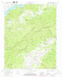
1960 Map of Shady Valley
USGS Topo · Published 1971About this map
South Holston Lake defines the northwestern corner of this mountain landscape, where the South Fork Holston River meets the Tennessee-Virginia border. The high valley floor is anchored by the community of Shady Valley, a high-altitude settlement characterized by a concentration of family landmarks and civic structures including the Shady Valley School and Shady Valley Church. The terrain is dominated by the massive Holston Mountain range, which is traversed by the Appalachian Trail as it snakes along the ridgeline.
Find a feature on this map
114 named features on this map. Tap any name to fly to it.
Don’t see what you’re looking for? This feature index may not catch every label — zoom into the map to look around manually.
Map Details
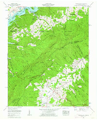
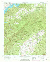
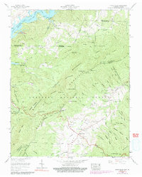
Editions of this 1960 Shady Valley Map
4 editions found
Other maps of this area

1891 · Roan Mountain
USGS Topo · 1:125,000

1891 · Abingdon
USGS Topo · 1:125,000

1893 · Cranberry
USGS Topo · 1:125,000

1894 · Roan Mountain
USGS Topo · 1:125,000

1894 · Abingdon
USGS Topo · 1:125,000

1895 · Cranberry
USGS Topo · 1:125,000

1897 · Bristol
USGS Topo · 1:125,000

1899 · Cranberry
USGS Topo · 1:125,000

1902 · Bristol
USGS Topo · 1:125,000

1902 · Cranberry
USGS Topo · 1:125,000