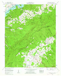
1960 Map of Shady Valley
USGS Topo · Published 1962About this map
Shady Valley sits as a high mountain basin where the headwaters of Beaverdam Creek emerge between the Iron Mountains and the ridges of the Cherokee National Forest. This 1960 revision reveals a landscape transitioning from traditional agriculture toward managed forest land, evidenced by the Kettlefoot Wildlife Management Area and extensive national forest boundaries. Settlement is concentrated along the basin floor near Shady Valley Ch and the Shady Valley Sch, while the surrounding slopes remain heavily forested and punctuated by gaps like Low Gap and Sowbed Gap.
Find a feature on this map
103 named features on this map. Tap any name to fly to it.
Don’t see what you’re looking for? This feature index may not catch every label — zoom into the map to look around manually.
Map Details
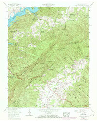
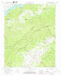
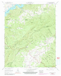
Editions of this 1960 Shady Valley Map
4 editions found
Other maps of this area

1891 · Roan Mountain
USGS Topo · 1:125,000

1891 · Abingdon
USGS Topo · 1:125,000

1893 · Cranberry
USGS Topo · 1:125,000

1894 · Roan Mountain
USGS Topo · 1:125,000

1894 · Abingdon
USGS Topo · 1:125,000

1895 · Cranberry
USGS Topo · 1:125,000

1897 · Bristol
USGS Topo · 1:125,000

1899 · Cranberry
USGS Topo · 1:125,000

1902 · Bristol
USGS Topo · 1:125,000

1902 · Cranberry
USGS Topo · 1:125,000