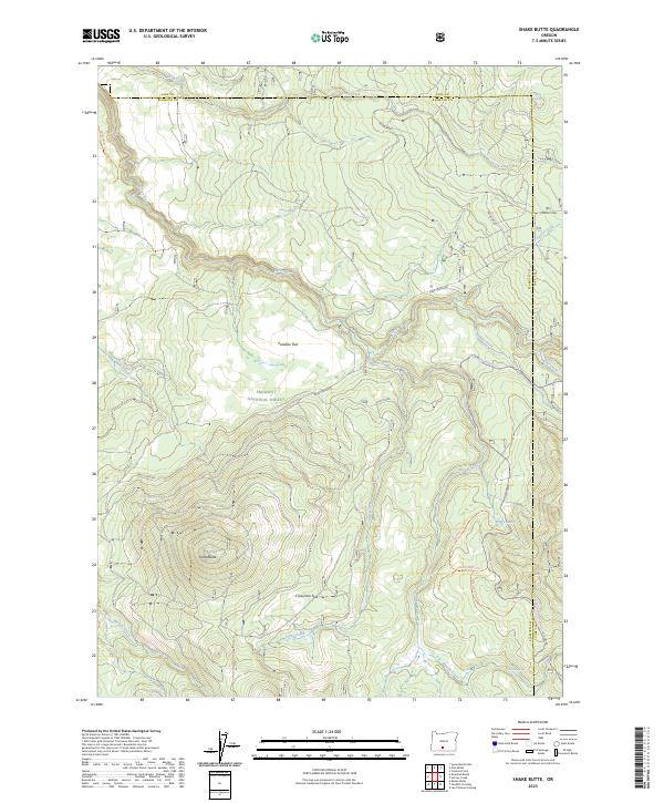
2023 Map of Shake Butte
USGS Topo · Published 2023About this map
Sycan Wild and Scenic River carves through the high plateau of the Fremont National Forest, defining a landscape where volcanic terrain meets essential water sources. The map provides a detailed look at the hydrology of this Klamath County region, from the wetlands of Kingry Marsh to the seasonal flows of Shake Creek and Long Creek. The topography is dominated by the volcanic profile of Shake Butte, rising above high-altitude meadows like Paradise Flat and Crazyman Flat. A network of forest roads and trails, including the Hadley Snowmobile Trl and routes leading to Pikes Crossing, illustrates the modern recreational and management infrastructure within this protected timberland. For those tracing historical land use or backcountry routes, the presence of numerous named springs such as Driscol Spring and Watson Spring highlights the vital importance of water points in this arid timber environment.
Find a feature on this map
43 named features on this map. Tap any name to fly to it.
Don’t see what you’re looking for? This feature index may not catch every label — zoom into the map to look around manually.
Map Details
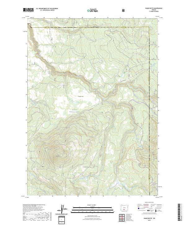
Editions of this 2023 Shake Butte Map
2 editions found
Other maps of this area

1889 · Klamath
USGS Topo · 1:250,000

1894 · Klamath
USGS Topo · 1:250,000

1955 · Klamath Falls
USGS Topo · 1:250,000

1958 · Klamath Falls
USGS Topo · 1:250,000

1960 · Riverbed Butte
USGS Topo · 1:62,500

1960 · Sycan Marsh
USGS Topo · 1:62,500

1966 · Shake Butte
USGS Topo · 1:24,000

1966 · Sandhill Crossing
USGS Topo · 1:24,000

1966 · Harvey Creek
USGS Topo · 1:24,000

1966 · Fremont Point
USGS Topo · 1:24,000