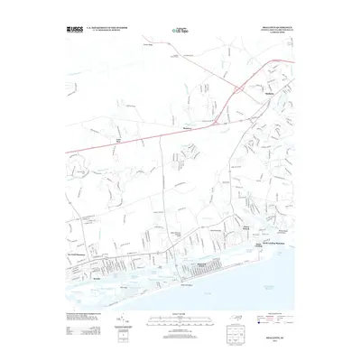
2013 Map of Shallotte
USGS Topo · Published 2013About this map
The Shallotte River winds through the heart of this coastal Brunswick County landscape, defining the boundaries between established towns and developing waterfront communities. The town of Shallotte serves as a northern hub, while the southern shoreline is marked by the expansive growth of Ocean Isle Beach and Sea Trail Plantation. This survey reveals the intricate transition from the dense swamps of the interior, such as Cawcaw Swamp and McMilly Swamp, to the tidal estuaries of Shallotte Sound.
Find a feature on this map
88 named features on this map. Tap any name to fly to it.
Don’t see what you’re looking for? This feature index may not catch every label — zoom into the map to look around manually.
Map Details
Editions of this 2013 Shallotte Map
This is the sole edition of this map. No revisions or reprints were ever made.
Other maps of this area
1943 · Little River
USGS Topo · 1:31,680
1943 · Calabash
USGS Topo · 1:31,680
1943 · Freeland
USGS Topo · 1:24,000
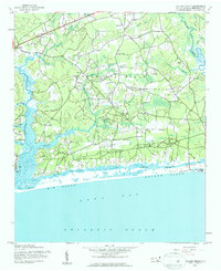
1943 · Holden Beach
USGS Topo · 1:24,000
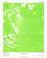
1943 · Exum
USGS Topo · 1:24,000
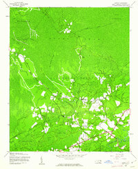
1943 · Supply
USGS Topo · 1:24,000
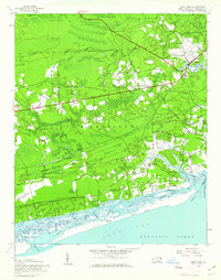
1943 · Shallotte
USGS Topo · 1:24,000
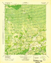
1944 · Supply
USGS Topo · 1:31,680
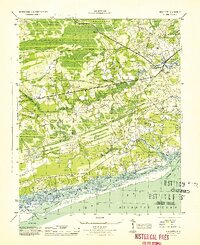
1944 · Shallotte
USGS Topo · 1:31,680

1949 · Georgetown
USGS Topo · 1:250,000