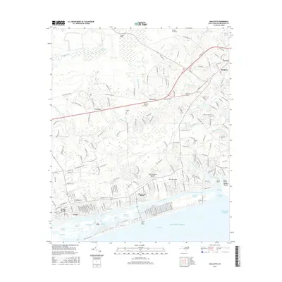
2016 Map of Shallotte
USGS Topo · Published 2016About this map
Shallotte River and its intricate network of tidal creeks and swamps define the character of this coastal North Carolina landscape. The terrain shifts from the heavily wooded Cawcaw Swamp and McMilly Swamp in the north to the barrier island developments of Ocean Isle Beach and Holden Beach along the Atlantic. Historically minded researchers will note the scattering of family burial grounds such as Mintz Cem and Gurganus Cem, which sit near older crossroads like Red Bug and Cool Run. The modernization of the region is evident in the Intracoastal Waterway and the Odell Williamson Municipal Airport, while the inland area retains a traditional coastal-plain layout with The Millpond and numerous small watercourses like Jennies Br and Gold Mine Cr.
Find a feature on this map
206 named features on this map. Tap any name to fly to it.
Don’t see what you’re looking for? This feature index may not catch every label — zoom into the map to look around manually.
Map Details
Editions of this 2016 Shallotte Map
This is the sole edition of this map. No revisions or reprints were ever made.
Other maps of this area

1943 · Little River
USGS Topo · 1:31,680

1943 · Calabash
USGS Topo · 1:31,680

1943 · Freeland
USGS Topo · 1:24,000

1943 · Holden Beach
USGS Topo · 1:24,000

1943 · Exum
USGS Topo · 1:24,000

1943 · Supply
USGS Topo · 1:24,000

1943 · Shallotte
USGS Topo · 1:24,000

1944 · Supply
USGS Topo · 1:31,680

1944 · Shallotte
USGS Topo · 1:31,680

1949 · Georgetown
USGS Topo · 1:250,000