2022 Map of Shallotte
USGS Topo · Published 2022About this map
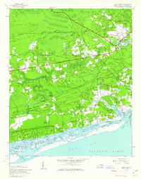
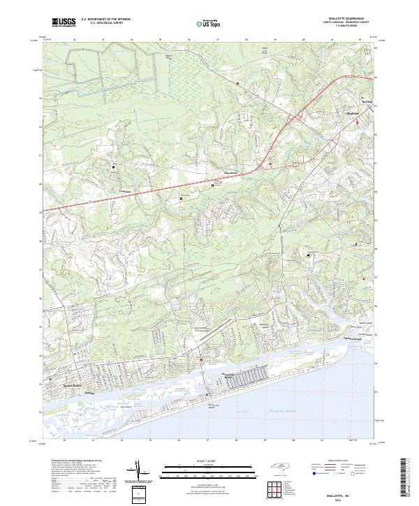
Shallotte and the surrounding coastal communities are captured here as they appeared in 2022, showing the significant development along the Brunswick County shoreline. This coastal landscape is defined by the Shallotte River and a network of swampy tributaries like Cawcaw Swamp and McMilly Swamp that feed into the Intracoastal Waterway. The map details the transition from inland settlements like Russtown and Cool Run to the barrier island beach communities of Ocean Isle Beach, Sunset Beach, and Holden Beach.
Find a feature on this map
113 named features on this map. Tap any name to fly to it.
Don’t see what you’re looking for? This feature index may not catch every label — zoom into the map to look around manually.
Map Details
Editions of this 2022 Shallotte Map
This is the sole edition of this map. No revisions or reprints were ever made.
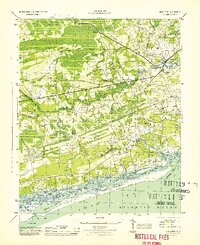
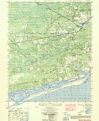
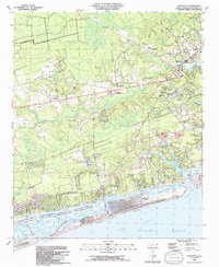
Historical Maps of Russtown Through Time
5 maps found