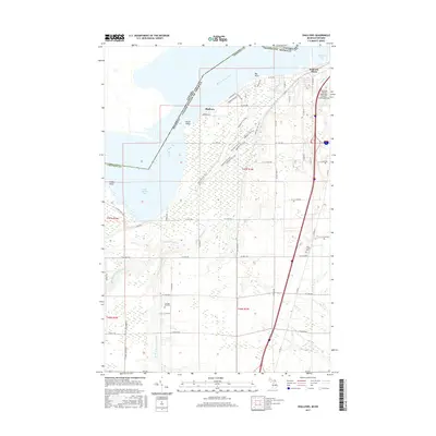
2017 Map of Shallows
USGS Topo · Published 2017About this map
The Saint Marys River defines the international boundary between Michigan and Ontario, cutting a wide path through this northern border region. Near the northeastern corner, the outskirts of Sault Ste. Marie overlook Ashmun Bay, while the Sault Ste. Marie Municipal Airport/Sanderson Field occupies the high ground to the south. The landscape is heavily marked by water and wetlands, with the East Branch Waiska River and Beaver Meadow Cr draining toward Izaak Walton Bay.
Find a feature on this map
65 named features on this map. Tap any name to fly to it.
Don’t see what you’re looking for? This feature index may not catch every label — zoom into the map to look around manually.
Map Details
Editions of this 2017 Shallows Map
This is the sole edition of this map. No revisions or reprints were ever made.
Other maps of this area

1913 · Sault Sainte Marie
USGS Topo · 1:62,500

1941 · Sault Sainte Marie
USGS Topo · 1:63,360

1941 · Brimley
USGS Topo · 1:63,360

1951 · Shallows
USGS Topo · 1:24,000

1951 · Kinross
USGS Topo · 1:24,000

1951 · Dafter
USGS Topo · 1:24,000

1951 · Barbeau
USGS Topo · 1:24,000

1951 · Brimley
USGS Topo · 1:62,500

1951 · Sault Ste. Marie
USGS Topo · 1:62,500

1951 · Brimley
USGS Topo · 1:24,000