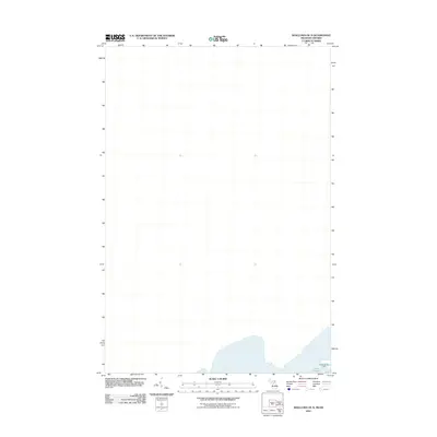
2011 Map of Shallows OE N
USGS Topo · Published 2011About this map
Lake Superior dominates the lower portion of this 2011 survey, which captures a critical maritime approach near the international boundary. The map provides a focused look at the waters leading toward the St. Marys River, with the Northwest Pier Light standing as a primary navigational aid for vessels transitioning between the open lake and the locks at Sault Ste. Marie. This specific cartographic study is primarily composed of the open water and navigational grid, serving as a precise record of the shoreline and maritime infrastructure along the northern edge of Michigan's Upper Peninsula during the early 21st century.
Find a feature on this map
2 named features on this map. Tap any name to fly to it.
Don’t see what you’re looking for? This feature index may not catch every label — zoom into the map to look around manually.
Map Details
Editions of this 2011 Shallows OE N Map
This is the sole edition of this map. No revisions or reprints were ever made.
Other maps of this area

1913 · Sault Sainte Marie
USGS Topo · 1:62,500

1941 · Sault Sainte Marie
USGS Topo · 1:63,360

1941 · Brimley
USGS Topo · 1:63,360

1951 · Shallows
USGS Topo · 1:24,000

1951 · Brimley
USGS Topo · 1:62,500

1951 · Sault Ste. Marie
USGS Topo · 1:62,500

1951 · Brimley
USGS Topo · 1:24,000

1951 · Sault Ste. Marie South
USGS Topo · 1:24,000

1954 · Sault Sainte Marie
USGS Topo · 1:250,000

1956 · Sault Sainte Marie
USGS Topo · 1:250,000