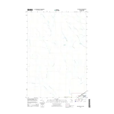
2014 Map of Shallows OE N
USGS Topo · Published 2014About this map
The international border between Canada and the United States defines the southern reach of this 2014 survey, just as the urban footprint of Sault Ste. Marie begins to influence the landscape. This area is characterized by a dense network of waterways feeding toward the St. Marys River system, dominated by the courses of the Big Carp River and Little Carp River. The drainage patterns here are intricate, with numerous small tributaries such as Bennett Cr and West Davignon Creek carving through the terrain. Smaller bodies of water like Allard Lake and Nettleton Lake punctuate the northern sections, reflecting the glacial geography of the Algoma District and the Upper Peninsula borderlands. This map provides a clear record of the hydrography near the twin cities of the Sault at the beginning of the twenty-first century.
Find a feature on this map
11 named features on this map. Tap any name to fly to it.
Don’t see what you’re looking for? This feature index may not catch every label — zoom into the map to look around manually.
Map Details
Editions of this 2014 Shallows OE N Map
This is the sole edition of this map. No revisions or reprints were ever made.
Other maps of this area

1913 · Sault Sainte Marie
USGS Topo · 1:62,500

1941 · Sault Sainte Marie
USGS Topo · 1:63,360

1941 · Brimley
USGS Topo · 1:63,360

1951 · Shallows
USGS Topo · 1:24,000

1951 · Brimley
USGS Topo · 1:62,500

1951 · Sault Ste. Marie
USGS Topo · 1:62,500

1951 · Brimley
USGS Topo · 1:24,000

1951 · Sault Ste. Marie South
USGS Topo · 1:24,000

1954 · Sault Sainte Marie
USGS Topo · 1:250,000

1956 · Sault Sainte Marie
USGS Topo · 1:250,000