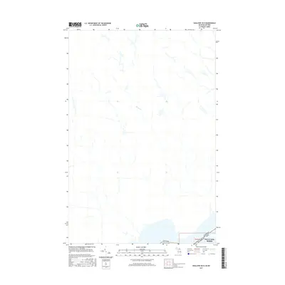
2017 Map of Shallows OE N
USGS Topo · Published 2017About this map
The international boundary between the Michigan and Ontario marks the southern edge of this 2017 survey, where the waters of the St. Marys River system meet the edge of Sault Ste. Marie. This map primarily documents the drainage patterns of the upper Great Lakes region, featuring the winding course of Bennett Cr as it flows toward the border. The geography is defined by the proximity of the Canada USA line, illustrating the shared water and land borders at this northern crossing. As a contemporary topographic record, it provides a look at the modern shoreline and political boundaries of this cross-border community, capturing the specific alignment of t47n r1w within the Michigan terrestrial grid.
Find a feature on this map
7 named features on this map. Tap any name to fly to it.
Don’t see what you’re looking for? This feature index may not catch every label — zoom into the map to look around manually.
Map Details
Editions of this 2017 Shallows OE N Map
This is the sole edition of this map. No revisions or reprints were ever made.
Other maps of this area

1913 · Sault Sainte Marie
USGS Topo · 1:62,500

1941 · Sault Sainte Marie
USGS Topo · 1:63,360

1941 · Brimley
USGS Topo · 1:63,360

1951 · Shallows
USGS Topo · 1:24,000

1951 · Brimley
USGS Topo · 1:62,500

1951 · Sault Ste. Marie
USGS Topo · 1:62,500

1951 · Brimley
USGS Topo · 1:24,000

1951 · Sault Ste. Marie South
USGS Topo · 1:24,000

1954 · Sault Sainte Marie
USGS Topo · 1:250,000

1956 · Sault Sainte Marie
USGS Topo · 1:250,000