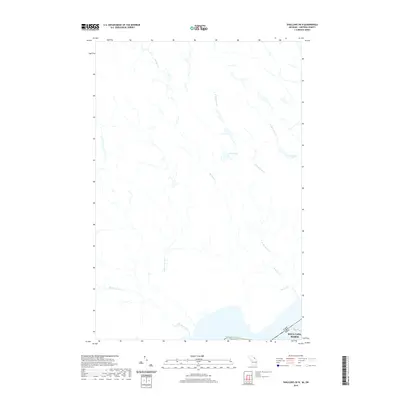
2019 Map of Shallows OE N
USGS Topo · Published 2019About this map
The Sault Ste. Marie international border region is defined by the critical waterway of the Saint Marys River, where the boundary between the United States and Canada is clearly delineated. This 2019 survey captures the hydrology of the area north of the river, where numerous drainage systems converge. Significant water features include the Big Carp River and Little Carp River, which flow south toward the international line. Further inland, the landscape is dotted with smaller bodies of water like Allard Lake and Nettleton Lake. The map details a network of creeks including Bennett Cr and the west and east branches of W Davignon Cr, illustrating the natural watershed that feeds into the Great Lakes system at this historic transit point.
Find a feature on this map
11 named features on this map. Tap any name to fly to it.
Don’t see what you’re looking for? This feature index may not catch every label — zoom into the map to look around manually.
Map Details
Editions of this 2019 Shallows OE N Map
This is the sole edition of this map. No revisions or reprints were ever made.
Other maps of this area

1913 · Sault Sainte Marie
USGS Topo · 1:62,500

1941 · Sault Sainte Marie
USGS Topo · 1:63,360

1941 · Brimley
USGS Topo · 1:63,360

1951 · Shallows
USGS Topo · 1:24,000

1951 · Brimley
USGS Topo · 1:62,500

1951 · Sault Ste. Marie
USGS Topo · 1:62,500

1951 · Brimley
USGS Topo · 1:24,000

1951 · Sault Ste. Marie South
USGS Topo · 1:24,000

1954 · Sault Sainte Marie
USGS Topo · 1:250,000

1956 · Sault Sainte Marie
USGS Topo · 1:250,000