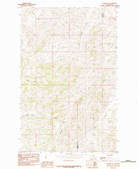
1984 Map of Shambo SE
USGS Topo · Published 1984About this map
Little Boxelder Creek and Clear Creek carve through this Montana landscape along the boundary between Hill Co and Blaine Co. This 1984 provisional survey captures the drainage patterns of the northern plains before modern development, focusing on the intricate network of coulees and seasonal watercourses. The inclusion of Sawmill Coulee suggests historical land use tied to early resource extraction or timber processing in an otherwise open terrain. Bullhook Creek and Sucker Creek define the northern and southern reaches of this quadrangle, illustrating the complex watershed system typical of this region's topography. The map serves as a detailed record of the physical geography and administrative divisions in a sparsely settled portion of north-central Montana during the mid-1980s.
Find a feature on this map
6 named features on this map. Tap any name to fly to it.
Don’t see what you’re looking for? This feature index may not catch every label — zoom into the map to look around manually.
Map Details
Editions of this 1984 Shambo SE Map
This is the sole edition of this map. No revisions or reprints were ever made.
Other maps of this area

1953 · Havre
USGS Topo · 1:250,000

1956 · Maddux
USGS Topo · 1:62,500

1956 · Lloyd
USGS Topo · 1:62,500

1957 · Havre
USGS Topo · 1:250,000

1958 · Havre
USGS Topo · 1:250,000

1959 · Warrick
USGS Topo · 1:62,500

1959 · Shambo
USGS Topo · 1:62,500
1984 · Bearpaw Lake
USGS Topo · 1:24,000
1984 · Shambo NE
USGS Topo · 1:24,000

1984 · Big John Butte
USGS Topo · 1:24,000