Loading...
Loading map...2023 Map of Shamokin
USGS Topo · Published 2023About this map
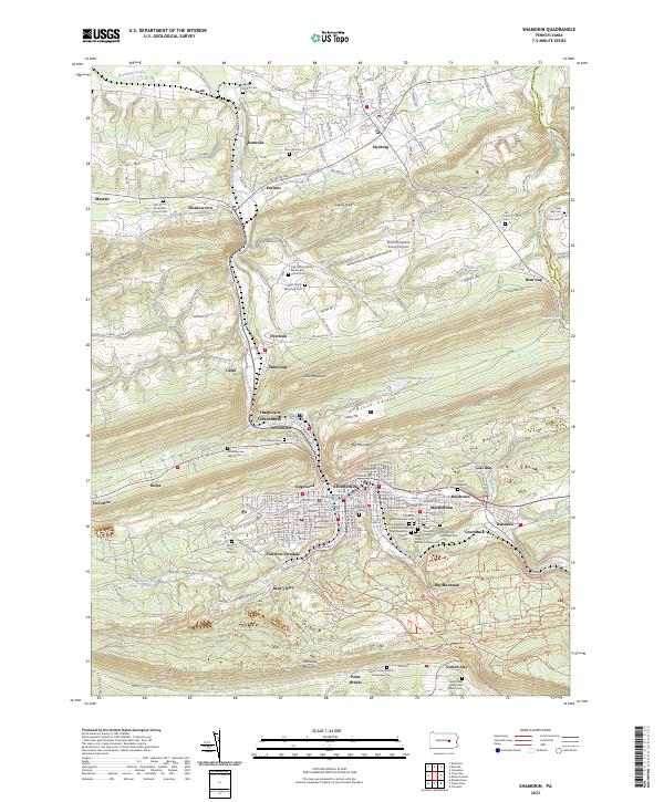
Shamokin sits at the heart of this survey, surrounded by a dense network of coal-country settlements and rugged terrain in Northumberland County. The landscape is defined by the steep ridges of Little Mountain, Big Mountain, and Mahanoy Mountain, which hem in the valley communities of Edgewood, Marshallton, and Coal Run. The legacy of the region's industry is visible in the sprawling Anthracite Outdoor Adventure Area, occupying lands once central to the coal economy.
Find a feature on this map
112 named features on this map. Tap any name to fly to it.
Don’t see what you’re looking for? This feature index may not catch every label — zoom into the map to look around manually.
Map Details
Date Portrayed2023
Date Published2023
PublisherU.S. Geological Survey
Map TypeTopographic
Scale1:24000
Physical Dimensions24 x 29 inches
Editions of this 2023 Shamokin Map
This is the sole edition of this map. No revisions or reprints were ever made.
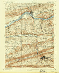
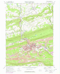
Historical Maps of Cleveland Township Through Time
6 maps found


Featured Locations
- West Cameron Township, PA
- Ralpho Township, PA
- Shamokin, PA
- Cleveland Township, PA
- Elysburg, Ralpho Township
Source Details
SourceU.S. Geological Survey
CopyrightPublic Domain