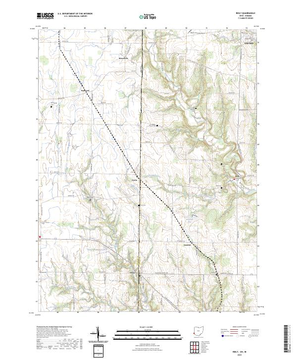
2023 Map of Shandon
USGS Topo · Published 2023About this map
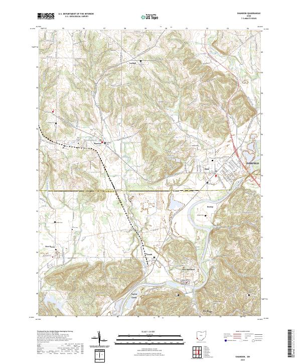
The Great Miami River carves through the southeast portion of this terrain, anchoring a landscape defined by small valley settlements and a dense network of country roads. Near the center of the sheet, Ross and Fernald sit along the winding Hamilton Cleves Rd, while the village of Shandon serves as a northern waypoint. The survey captures a significant density of genealogical sites, including the Ross Township Cem, Shaker Cem, and New London Cem, reflecting generations of settlement between the river and Paddys Run. Waterways such as Indian Creek and the Dry Fork Whitewater River dictate the local geography, separating established clusters like New Haven and New Baltimore. The boundary between Butler and Hamilton counties bisects the map, illustrating how these disparate communities are linked by shared transit corridors and river crossings.
Find a feature on this map
143 named features on this map. Tap any name to fly to it.
Don’t see what you’re looking for? This feature index may not catch every label — zoom into the map to look around manually.
Map Details
Editions of this 2023 Shandon Map
This is the sole edition of this map. No revisions or reprints were ever made.
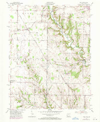
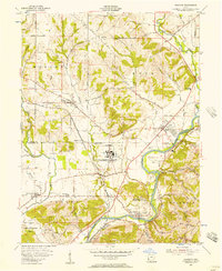
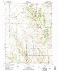
Historical Maps of New Haven Through Time
6 maps found