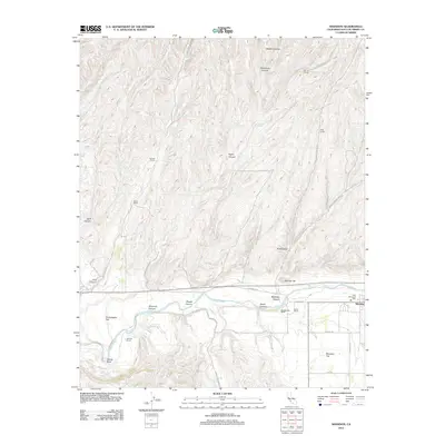
2012 Map of Shandon
USGS Topo · Published 2012About this map
Shandon and the wide plains of Shandon Flat anchor this Central Coast landscape, where agricultural history is mapped through numerous family-named ranching operations. The Estrella River winds through the southern portion of the sheet, joined by Indian Cr and Pine Cr which drain the many canyons to the north. These drainage patterns define the local geography, with named features like McMillan Canyon and Shedd Canyon carving the terrain between grazing lands.
Find a feature on this map
39 named features on this map. Tap any name to fly to it.
Don’t see what you’re looking for? This feature index may not catch every label — zoom into the map to look around manually.
Map Details
Editions of this 2012 Shandon Map
This is the sole edition of this map. No revisions or reprints were ever made.
Other maps of this area

1914 · Cholame
USGS Topo · 1:125,000

1915 · Cholame
USGS Topo · 1:125,000

1917 · Cholame
USGS Topo · 1:125,000

1919 · San Miguel
USGS Topo · 1:62,500

1919 · Paso Robles
USGS Topo · 1:62,500

1943 · Shandon
USGS Topo · 1:31,680

1943 · Paso Robles
USGS Topo · 1:62,500

1943 · Commatti Canyon
USGS Topo · 1:31,680
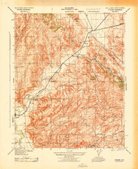
1943 · Cholame
USGS Topo · 1:31,680

1943 · Shedd Canyon
USGS Topo · 1:31,680