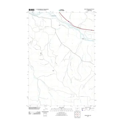
2011 Map of Shane Ridge
USGS Topo · Published 2011About this map
The Yellowstone River cuts across the northern edge of this landscape, framed by prominent elevations like Countrymans Bluff and Flahery Flat. This 2011 survey captures the drainage patterns south of the river, where numerous creeks and coulees define the topography. The terrain rises toward the south, marked by the long spine of Shane Ridge and the distinct peak of Wash Bowl Butte. The map illustrates a transition from the river valley to higher upland draws, including the suggestive Coal Mine Coulee and Hayrack Gulch. Local transportation is represented by rural routes such as Joliet Rd and Skibstad Rd, which navigate the complex network of tributaries like Tutt Creek and the bifurcated East Fork Shane Creek. This digital-era update provides a precise look at the land's contours and named natural features just outside of Columbus.
Find a feature on this map
33 named features on this map. Tap any name to fly to it.
Don’t see what you’re looking for? This feature index may not catch every label — zoom into the map to look around manually.
Map Details
Editions of this 2011 Shane Ridge Map
This is the sole edition of this map. No revisions or reprints were ever made.
Other maps of this area

1892 · Stillwater
USGS Topo · 1:125,000

1932 · Red Lodge No 2
USGS Topo · 1:48,000

1932 · Red Lodge No 1
USGS Topo · 1:48,000

1954 · Billings
USGS Topo · 1:250,000

1955 · Whitebird School
USGS Topo · 1:24,000

1956 · Columbus West
USGS Topo · 1:24,000

1956 · Shane Ridge
USGS Topo · 1:24,000

1956 · Horse Butte
USGS Topo · 1:24,000

1956 · Columbus East
USGS Topo · 1:24,000

1956 · Roscoe NE
USGS Topo · 1:24,000