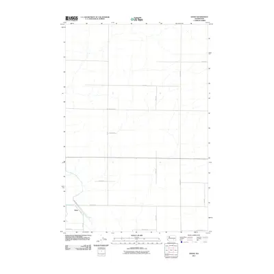
2011 Map of Shano
USGS Topo · Published 2011About this map
Shano anchors the southwest corner of this section of the Columbia Plateau, where the landscape is defined by a rigid grid of agricultural access roads and dry coulees. The settlement pattern follows the systematic township and range surveying typical of the region's wheat-growing country. Modern infrastructure like Gearhardt Rd and W Hatton Rd trace the paths of historical transport through the arid terrain. The drainage patterns of ephemeral streams, documented by the U. S. Geological Survey in this 2011 edition, illustrate the subtle topography between W Cunningham Rd and W Yeisley Rd. This area serves as a primary example of how 20th-century road networks like Moody Rd and S Fox Rd were established to support isolated ranching and dryland farming operations in Adams County.
Find a feature on this map
16 named features on this map. Tap any name to fly to it.
Don’t see what you’re looking for? This feature index may not catch every label — zoom into the map to look around manually.
Map Details
Editions of this 2011 Shano Map
This is the sole edition of this map. No revisions or reprints were ever made.
Other maps of this area

1916 · Connell
USGS Topo · 1:125,000

1918 · Connell
USGS Topo · 1:125,000

1924 · Othello
USGS Topo · 1:62,500

1925 · Scooteney Lake
USGS Topo · 1:62,500

1951 · Scooteney Lake
USGS Topo · 1:62,500

1953 · Walla Walla
USGS Topo · 1:250,000

1954 · Bruce
USGS Topo · 1:24,000

1954 · Warden
USGS Topo · 1:24,000

1954 · Othello
USGS Topo · 1:62,500

1958 · Walla Walla
USGS Topo · 1:250,000