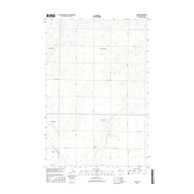
2017 Map of Shano
USGS Topo · Published 2017About this map
Shano stands as the primary namesake settlement in this corner of the Columbia Plateau, situated at the intersection of Gearhardt Rd and S Fox Rd. The landscape is defined by the broad, level expanse of Paradise Flats, a significant topographical feature that likely shaped the agricultural development and road network of the region. The grid of country roads, including Foley Rd and W Cunningham Rd, suggests a territory organized around large-scale dryland farming or irrigation projects common to this part of Washington. Genealogists and local historians can trace the arterial routes connecting the dispersed homesteads and agricultural centers, from Johnson Rd in the east to S Irby Rd in the west, documenting the rural infrastructure as it existed in the early 21st century.
Find a feature on this map
21 named features on this map. Tap any name to fly to it.
Don’t see what you’re looking for? This feature index may not catch every label — zoom into the map to look around manually.
Map Details
Editions of this 2017 Shano Map
This is the sole edition of this map. No revisions or reprints were ever made.
Other maps of this area

1916 · Connell
USGS Topo · 1:125,000

1918 · Connell
USGS Topo · 1:125,000

1924 · Othello
USGS Topo · 1:62,500

1925 · Scooteney Lake
USGS Topo · 1:62,500

1951 · Scooteney Lake
USGS Topo · 1:62,500

1953 · Walla Walla
USGS Topo · 1:250,000

1954 · Bruce
USGS Topo · 1:24,000

1954 · Warden
USGS Topo · 1:24,000

1954 · Othello
USGS Topo · 1:62,500

1958 · Walla Walla
USGS Topo · 1:250,000