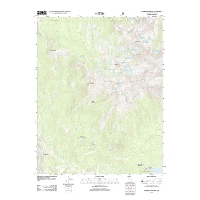
2012 Map of Sharktooth Peak
USGS Topo · Published 2012About this map
Sharktooth Peak and the high Silver Divide define this landscape of the High Sierra, where granite summits give way to a dense network of alpine basins. The eastern edge of the map shows a concentrated cluster of small lakes with distinctive names like Pocket Lake, Scarab Lake, and Beetlebug Lake, suggesting a period of specific nomenclature by early surveyors or naturalists.
Find a feature on this map
42 named features on this map. Tap any name to fly to it.
Don’t see what you’re looking for? This feature index may not catch every label — zoom into the map to look around manually.
Map Details
Editions of this 2012 Sharktooth Peak Map
This is the sole edition of this map. No revisions or reprints were ever made.
Other maps of this area

1901 · Mt. Lyell
USGS Topo · 1:125,000

1904 · Kaiser
USGS Topo · 1:125,000

1912 · Mt. Goddard
USGS Topo · 1:125,000

1914 · Mt. Morrison
USGS Topo · 1:125,000

1947 · Mariposa
USGS Topo · 1:250,000

1948 · Mariposa
USGS Topo · 1:250,000

1953 · Mt. Morrison
USGS Topo · 1:62,500

1953 · Mt Abbot
USGS Topo · 1:62,500

1953 · Devils Postpile
USGS Topo · 1:62,500

1953 · Kaiser Peak
USGS Topo · 1:62,500