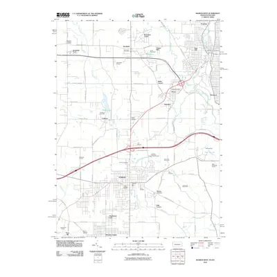
2010 Map of Sharon West
USGS Topo · Published 2010About this map
The city of Hubbard anchors the southern portion of this landscape, a region defined by its industrial heritage and the intricate drainage of Little Yankee Run and the Shenango River. The map documents a dense network of suburban and rural settlements along the Ohio-Pennsylvania border, including Brookfield Center, West Hill, and Masury. Significant for genealogists and local historians are the numerous burial grounds such as Old North Cemetery, Saint Patricks Cemetery, and Corner House Cemetery, which reflect the long-standing communities here. The presence of aviation infrastructure like Brookfield Airpark and TW Stolport alongside older features like the Coalburg Lake Dam illustrates the evolving use of the land as former industrial sites transitioned toward recreational and residential purposes in the early twenty-first century.
Find a feature on this map
94 named features on this map. Tap any name to fly to it.
Don’t see what you’re looking for? This feature index may not catch every label — zoom into the map to look around manually.
Map Details
Editions of this 2010 Sharon West Map
This is the sole edition of this map. No revisions or reprints were ever made.
Other maps of this area

1905 · Neshannock
USGS Topo · 1:62,500

1906 · Youngstown
USGS Topo · 1:62,500

1907 · Neshannock
USGS Topo · 1:62,500

1907 · Kinsman
USGS Topo · 1:62,500

1908 · Shenango
USGS Topo · 1:62,500

1908 · Youngstown
USGS Topo · 1:62,500

1950 · Cleveland
USGS Topo · 1:250,000

1951 · Campbell
USGS Topo · 1:24,000

1951 · Youngstown
USGS Topo · 1:24,000

1954 · Sharon West
USGS Topo · 1:24,000