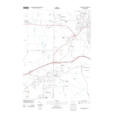
2013 Map of Sharon West
USGS Topo · Published 2013About this map
The Shenango River corridor defines the eastern edge of this modern survey, where industrial and residential development bridges the state line. In the southern half, the city of Hubbard serves as a significant hub, anchored by its proximity to Interstate 80 and the Truck World Blvd logistics area. The landscape reflects a shift from earlier industrial roots to contemporary suburban and infrastructure use, with residential neighborhoods like Maplewood Park and McGuffey Heights situated near the municipal center.
Find a feature on this map
89 named features on this map. Tap any name to fly to it.
Don’t see what you’re looking for? This feature index may not catch every label — zoom into the map to look around manually.
Map Details
Editions of this 2013 Sharon West Map
This is the sole edition of this map. No revisions or reprints were ever made.
Other maps of this area

1905 · Neshannock
USGS Topo · 1:62,500

1906 · Youngstown
USGS Topo · 1:62,500

1907 · Neshannock
USGS Topo · 1:62,500

1907 · Kinsman
USGS Topo · 1:62,500

1908 · Shenango
USGS Topo · 1:62,500

1908 · Youngstown
USGS Topo · 1:62,500

1950 · Cleveland
USGS Topo · 1:250,000

1951 · Campbell
USGS Topo · 1:24,000

1951 · Youngstown
USGS Topo · 1:24,000

1954 · Sharon West
USGS Topo · 1:24,000